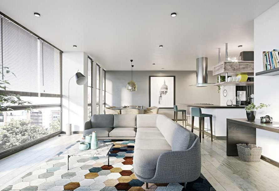
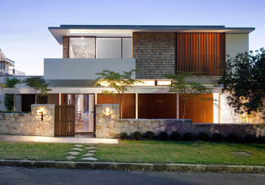
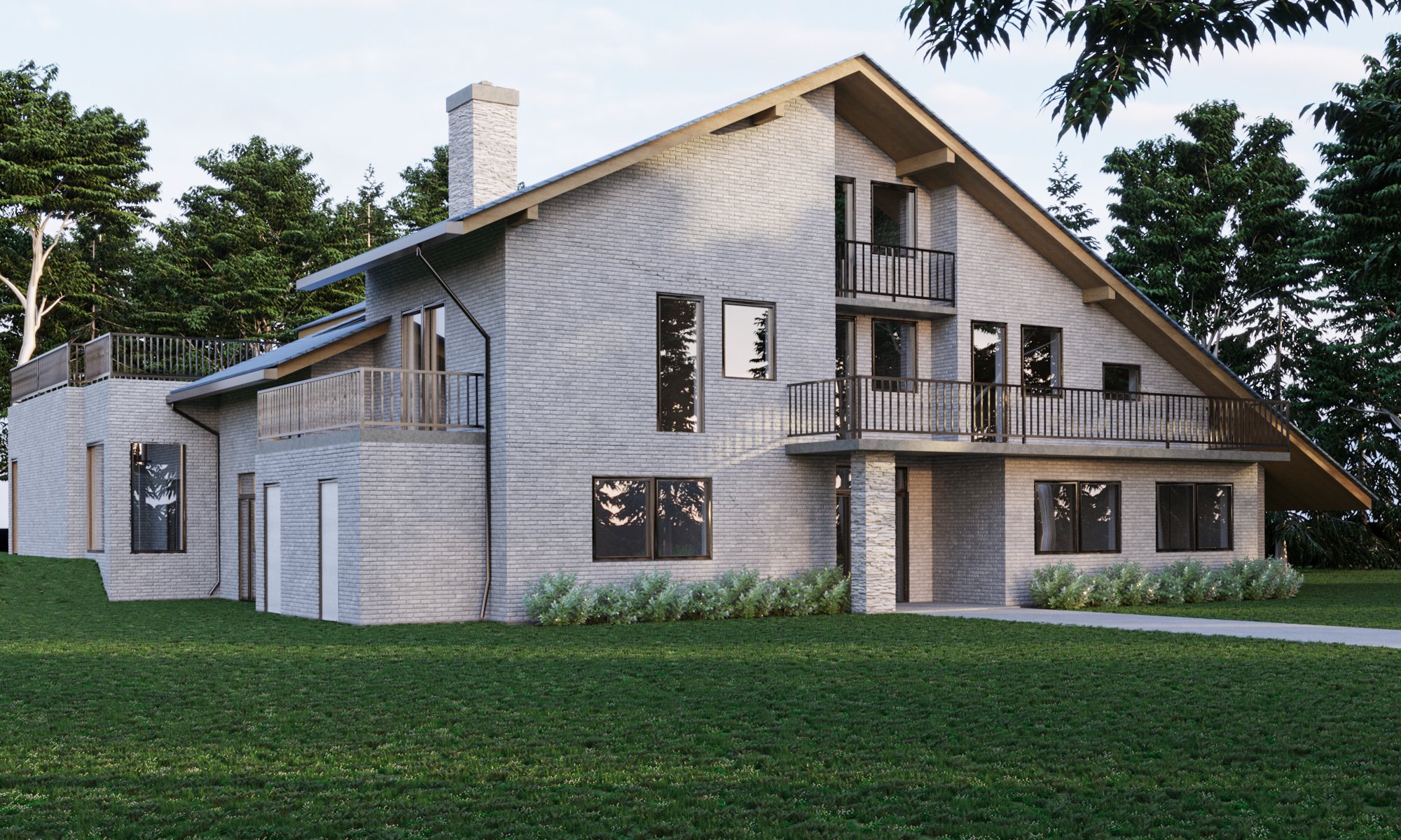
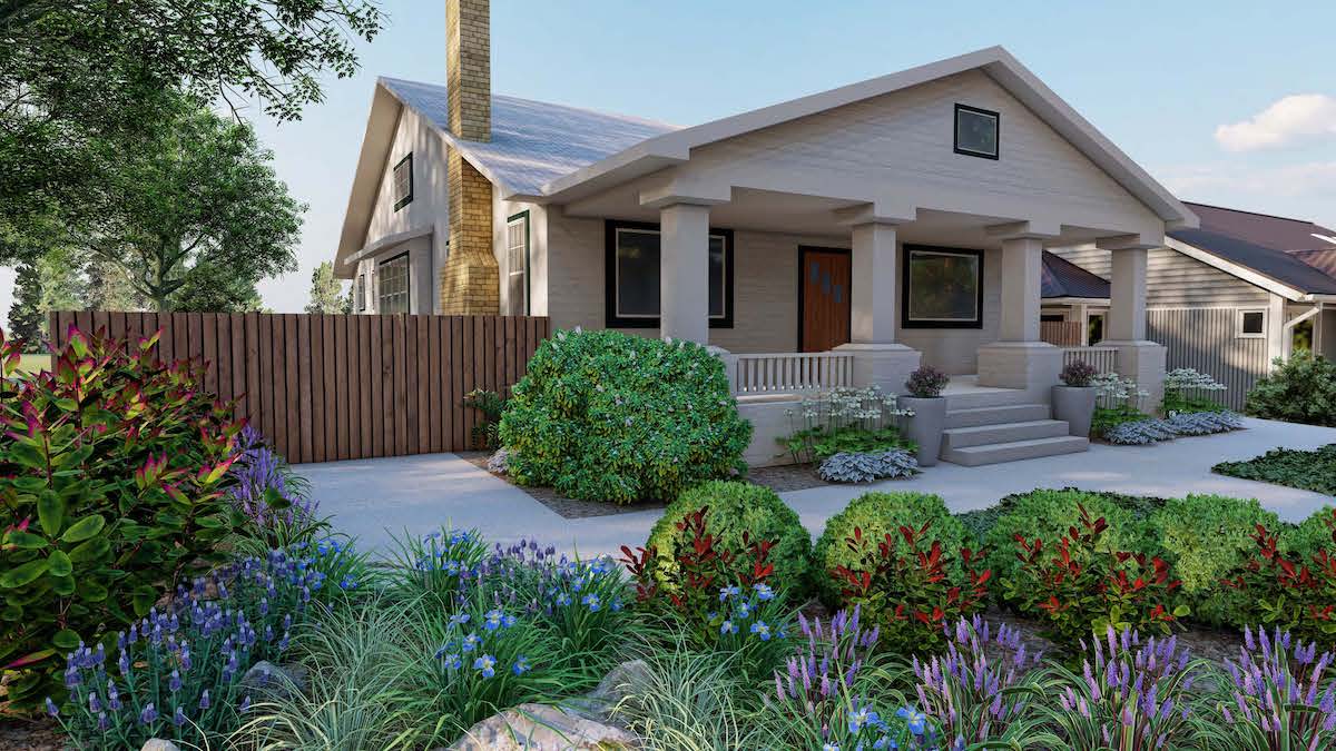
Are you looking for a way to add some extra dimension to your landscape design? 3D rendering may be just what you need! 3D rendering is a process of creating a three-dimensional image of an object or scene. This can be done with computer software, or by using special cameras and printers. Rendering is often used in architecture and engineering to create images of proposed buildings or structures. It can also be used in landscape design to create realistic images of proposed gardens or outdoor spaces. If you’re considering using 3D rendering for your next project, read on for an introduction to the process.
Rendering landscape
When it comes to landscape design, there are two main approaches: rendering and modeling. Both have their own strengths and weaknesses, so the decision of which to use depends on the project at hand.
Rendering is the process of creating a 2D or 3D image from a set of data. This data can be either a model created in another program, or real-world data gathered from photographs or other sources. Rendering is often used for creating images of landscapes, as it allows for a high degree of realism. However, it can be time-consuming, and requires a lot of processor power.
Modeling, on the other hand, is the process of creating a 3D model from scratch. This can be done in programs like SketchUp or Rhino. Modeling is generally quicker than rendering, and doesn’t require as much processing power. However, it can be more difficult to create realistic images using modeling alone.
So, which approach should you use for your landscape design project? It depends on your goals and timeline. If you need a realistic image quickly, rendering is the way to go. If you have more time, or if you’re more interested in exploring different design options, modeling may be the better choice.
The process of 3D rendering landscape
3D rendering landscape is the process of creating a three-dimensional representation of a particular place. This can be done for both natural and man-made landscapes. The process usually involves using software to create a model of the landscape, which is then rendered into an image or animation.
There are many different software programs that can be used for 3D rendering, each with its own advantages and disadvantages. Some of the most popular programs include 3ds Max, Maya, Blender, and Cinema 4D.
The first step in any 3D rendering project is to create a model of the landscape. This can be done by hand, using a scanner to digitize an existing landscape, or by using photographs or other existing data sources. Once the model is created, it can be modified and refined to create the desired look.
Once the model is complete, it must be rendered into an image or animation. This can be done using ray tracing, radiosity, or rasterization algorithms. Ray tracing simulates light rays bouncing off of objects in the scene to create realistic lighting effects. Radiosity calculates how light reflects and refracts off surfaces in the scene to create realistic shadows and highlights. Rasterization converts the three-dimensional model into a two-dimensional image that can be displayed on a monitor or printed out on paper.

The final step in any 3D rendering project is to add finishing touches to the image or animation. This can include adding texture maps
The benefits of 3D rendering landscape
When it comes to landscape design, 3D rendering is an invaluable tool. It allows designers to see how their proposed plans will look in real life, and make necessary adjustments before any work is carried out.
3D rendering also allows for a greater degree of accuracy when it comes to determining the proportions of features in a landscape. This is essential for ensuring that elements such as paths, ponds and planting areas are correctly sized and positioned in relation to one another.
Another key benefit of 3D rendering is that it can be used to create animated walkthroughs of a landscape design. This is hugely beneficial for both designers and clients, as it gives them a much better sense of how the finished space will look and feel. It also means that any potential problems with the design can be identified and rectified early on.
How to get started with 3D rendering landscape?
In order to get started with 3D rendering landscape, you will need to have a computer with internet access and a 3D rendering program. Once you have these two things, you can begin following these steps:
- Choose the right program: Not all programs are created equal and some will be better suited for your needs than others. Do some research on the different programs available and decide which one is right for you.
- Download or purchase the program: Once you’ve decided on a program, you’ll need to download it or purchase it. Be sure to follow any instructions that come with the program in order to install it properly.
- Start exploring: Now that you have the program installed, it’s time to start exploring what it can do! Try out different features and options to see what results you can get.
- Experiment: The best way to learn is by experimentation. Don’t be afraid to try new things and see what happens. You may be surprised at what you can create!
Conclusion
3D rendering is a powerful tool that can help you create stunning landscapes. With the right software and some practice, you can bring your visions to life in ways that were once impossible. We hope this article has inspired you to give it a try!