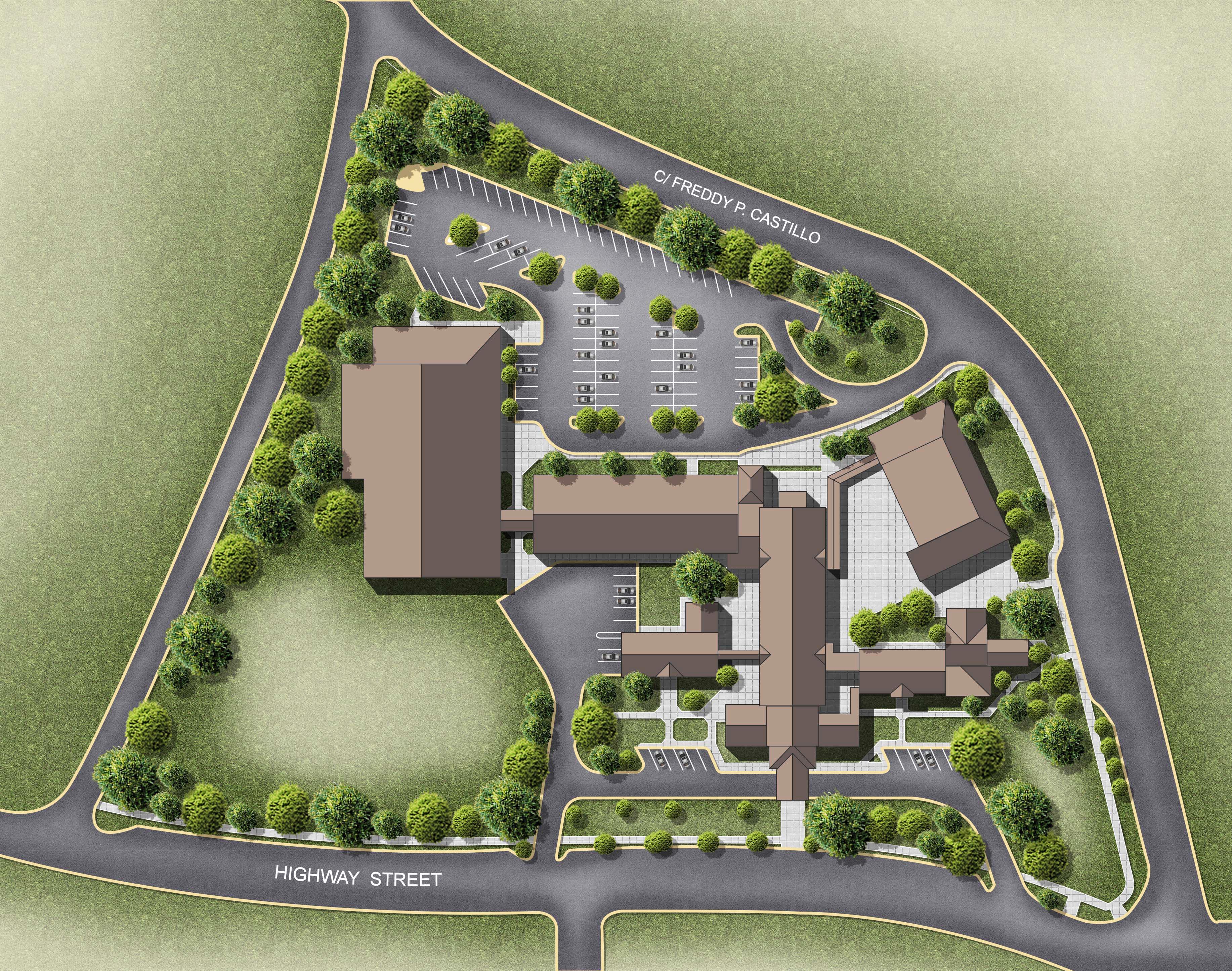
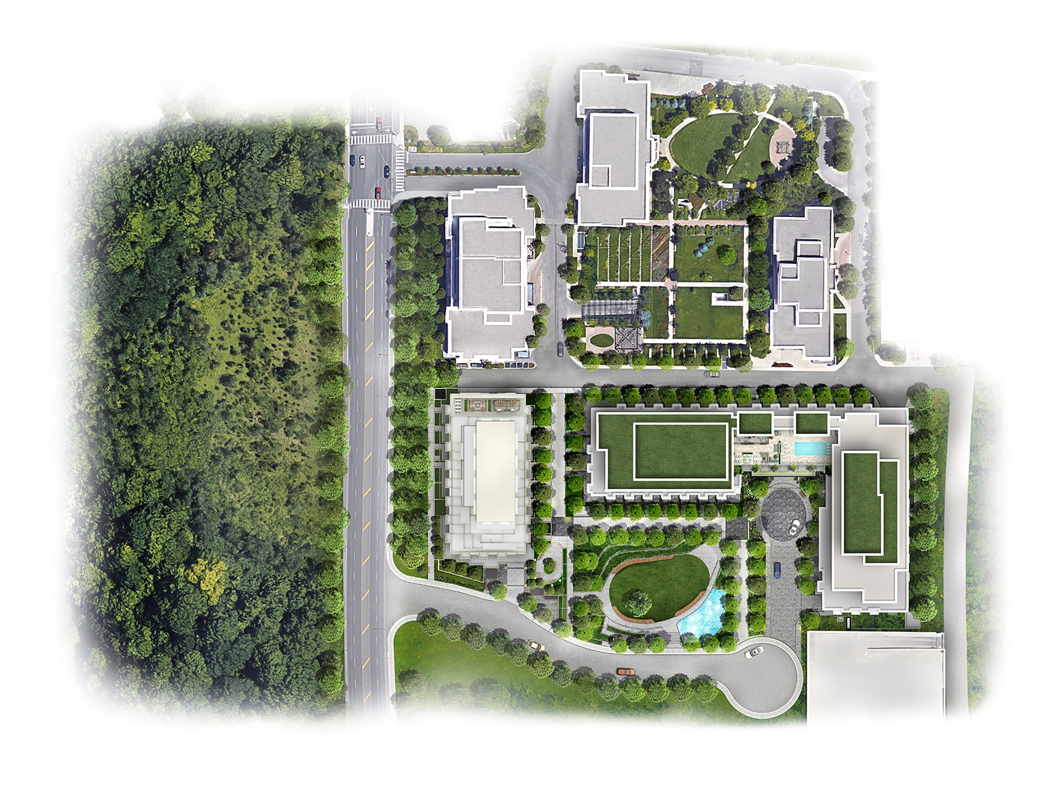
Architectural site plan rendering is a process of creating 2D or 3D images of a proposed development project. This type of rendering is used to communicate the overall vision for a project to potential investors, developers, and other stakeholders. There are many different software programs that can be used for architectural site plan rendering, but the most important part of the process is understanding the specific needs of the project and how to best communicate the vision to those who will be seeing the renderings.
What is a Site Plan?
A site plan is a drawing that shows the layout of a property or site. It typically includes the location of buildings, roads, walkways, parking areas, and other features. A site plan is often used in conjunction with a floor plan to show how a property or site will be developed.

The Different Types of Site Plans
There are a few different types of site plans that are commonly used in architecture and planning. The most common type is the contour map, which shows the shape of the land. This is often used to show potential building sites or to give an overview of the property. Another common type is the orthographic projection, which is a two-dimensional view of the land. This is often used for detailed planning of construction projects.
Pros and Cons of a Site Plan
There are many factors to consider when deciding whether or not to create a site plan rendering for your project. The following list outlines the pros and cons of doing so:

Pros:
- A site plan rendering can help you visualize the proposed development, including buildings, parking, landscaping, and other features.
- It can be used to communicate your ideas to others involved in the project, such as investors, planners, or city officials.
- A well-done site plan can help you secure the necessary approvals and permits for your project.
Cons:
- Site plan renderings can be costly and time-consuming to produce.
- If changes are made to the project during the design process, the rendering may no longer be accurate or representative of the final development.
What to Include in a Site Plan?
When submitting a site plan to an architect or other designer, be sure to include all pertinent information. This includes the property address, a legal description of the property, the scale of the drawing, north arrow, dimensions of the site, and any easements or rights-of-way. If there are any existing structures on the property, be sure to note their location and dimensions as well. If you have any specific ideas for the design of your project, be sure to include them on the site plan. The more information you can provide, the better able your designer will be to create a plan that meets your needs.
How to Create a Site Plan?
Assuming you have a site to work with, the first step is to create a base map. This can be done by going to Google Earth, finding your site, and saving an image of it. Once you have your base map, open up a new AutoCAD file and insert your image.
Next, you’ll need to start tracing out the property lines. If you don’t have a survey, you can find the property lines by looking at the cadastral data in Google Earth. Once you have the property lines drawn in, start adding in any existing features on the site such as buildings, trees, parking lots, etc.
After that, you’ll need to start thinking about what you want to add to the site. This will generally be dictated by the project requirements. Some things you may want to include are: roads, sidewalks, landscaping, retention ponds, etc. Once you have everything laid out the way you want it, save your file and export it as a PDF.
Alternatives to a Site Plan
If you’re looking for alternatives to a site plan, there are a few options available to you. You could create a 3D model of the site, which would give you a better idea of the topography and layout. Or, you could create a drawing or sketch of the site, which would be more accurate than a photo but not as realistic as a 3D model. Finally, you could simply take measurements of the property and create a scaled map, which would be the most accurate but also the most time-consuming option.

Conclusion
Rendering a site plan is a great way to get an idea of what a future development will look like. It can also help to identify potential problems that might need to be addressed before construction begins. If you’re thinking about having a site plan rendered for your next project, we hope this article has given you some useful tips and information.


